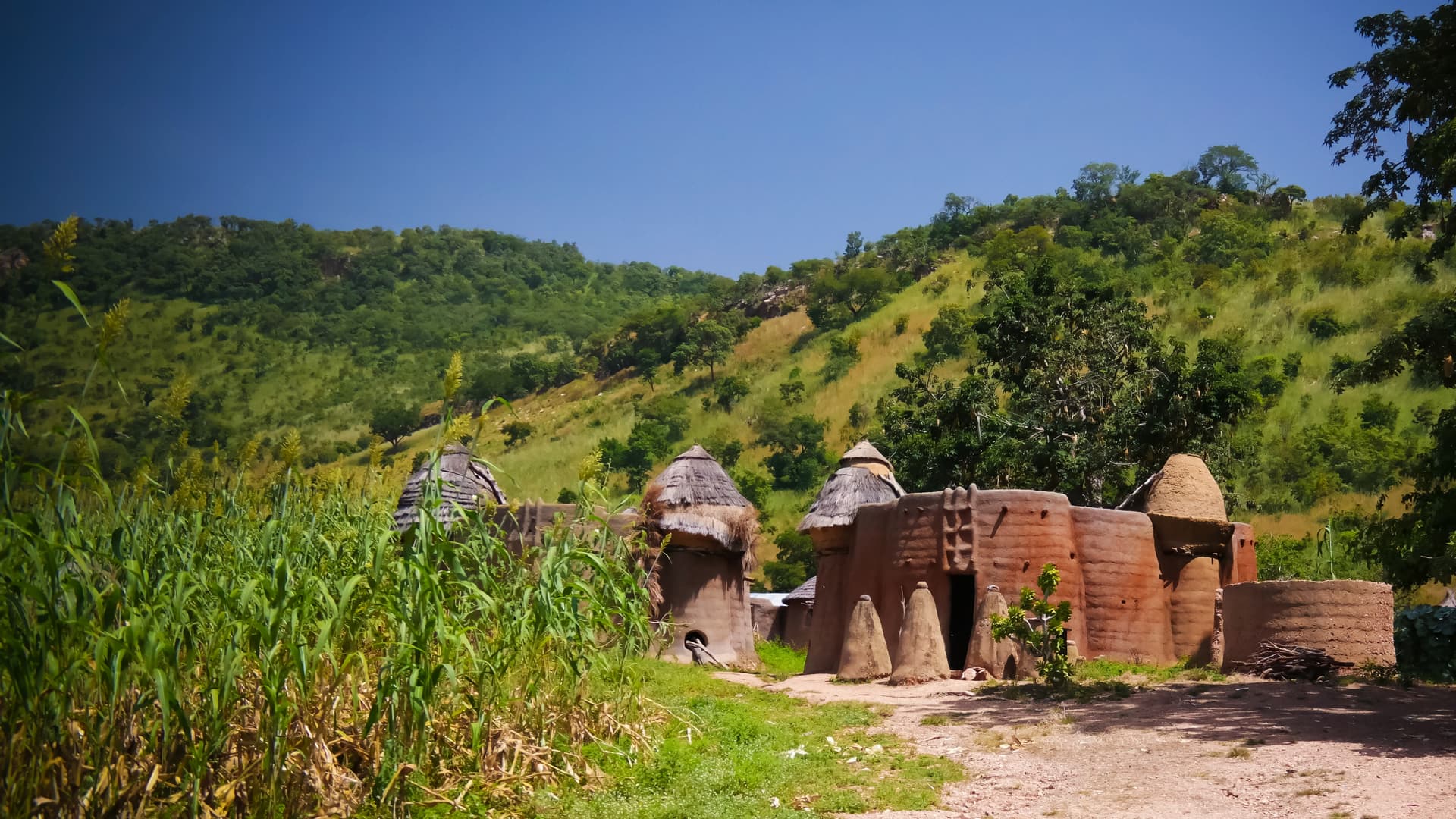
Tamberma Country
The UNESCO valley of Koutammakou, its raw earth tata somba and Batammariba hamlets, to be discovered on foot between Nadoba and the foothills of the Atakora.
Tamberma Country, which locals call Koutammakou, occupies a valley of approximately 50,000 hectares in northeastern Togo, between the Atakora mountain range and the Benin border. The region has been inscribed on the UNESCO World Heritage List since 2004, not for an isolated monument, but for the coherence of a living cultural landscape: millet and sorghum fields, groves of baobabs and shea trees, and above all the tata somba—these raw earth tower-houses that define the settlement pattern of the Batammariba people.
A tata is a miniature two-story fortress. The ground floor shelters livestock, the kitchen, and the ancestral altar; the upper floor serves as sleeping quarters and storage for conical granaries thatched with straw. The banco walls, finished with vegetable decoctions, reach six to eight meters high. Each house belongs to an extended family and functions as an autonomous agricultural unit. There are several hundred of them, scattered in hamlets of about ten tata each, between Nadoba, Warengo, Koutougou, and Boukoumbé on the Benin side.
The Batammariba, whose name means "those who shape the earth,